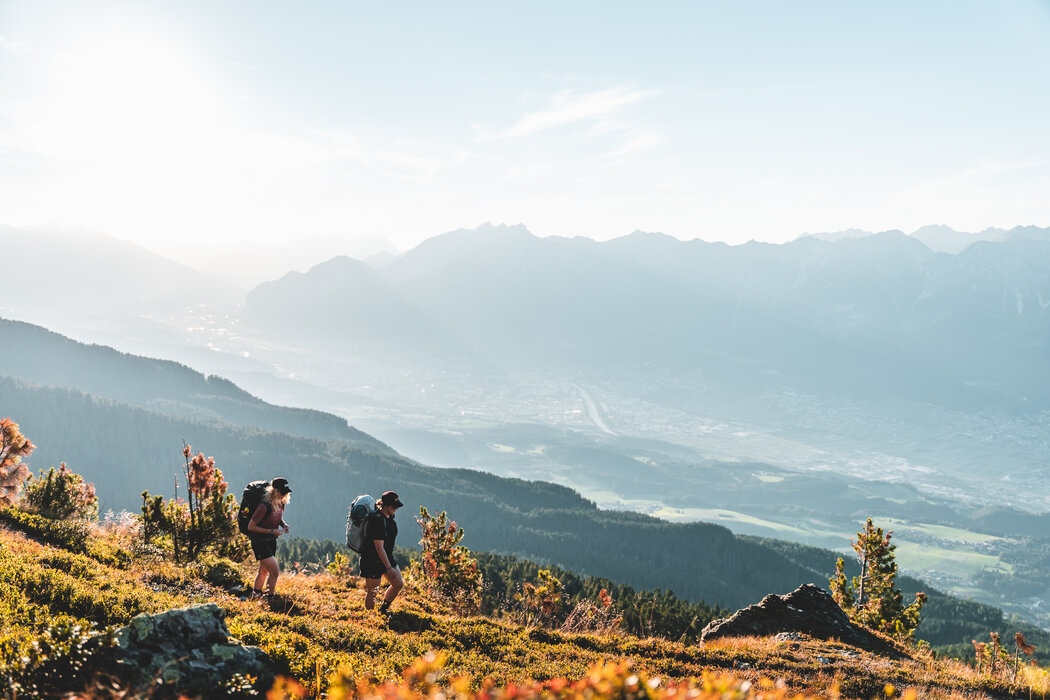
Hike the beautiful natural landscape at the Glungezer. From the village of Tulfes, the gondola lift of the Glungezerbahn takes you comfortably to the middle station Halsmarter (sea level 1567) as well as to the top station Tulfein (sea level 2055). Hiking brochures as well as hiking maps and tour descriptions are available directly at the valley station of the Glungezerbahn.
Hiking Map Glungezer
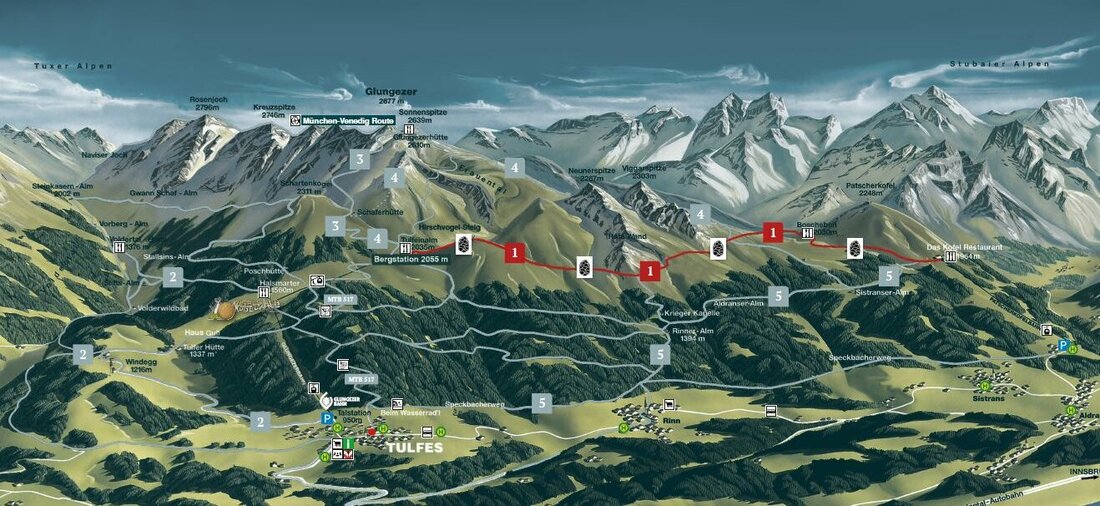
1. Stone Pine Path
Beautiful panoramic hike through the largest Swiss stone pine forest in Central Europe: From Tulfes by bus to Igls and then by gondola to the Patscherkofel mountain station (1964 m). From here, the stone pine path leads almost level to the Tulfeinalm at 2000 meters above sea level. From the top station take the gondola back to the valley (2 sections).
Walking time: Zirbenweg approx. 2 - 2 1/2 hrs.
Distance: 7 km
Detailed information about the Zirbenweg can be found here.
2. From Tulfes into the Voldervalley
With the new Glungezerbahn to the middle station Halsmarter. From here the route leads into the Voldertal valley, over picturesque alpine pastures to the Voldertal hut. The way back via the Stiftsalm and Windegg back to Tulfes. Alternative route: After the Stiftsalm via "Oberplattn" and the sports field to Tulfes.
Walking time: about 3,5 h
Distance: 9, 6 km
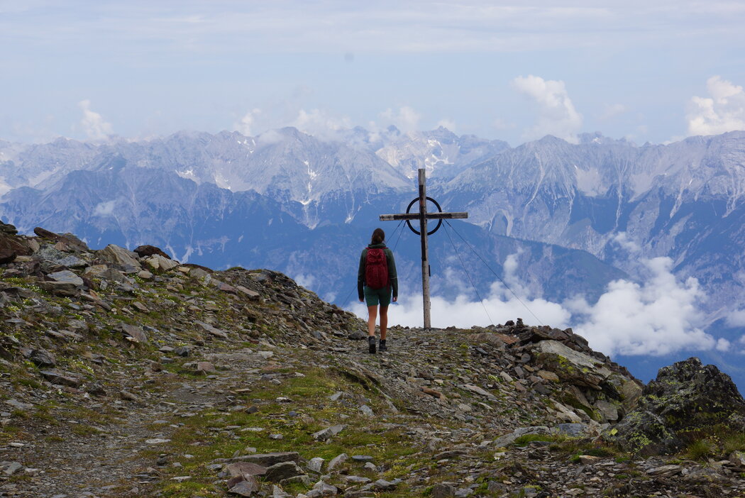
3. Glungezer Peak Tour
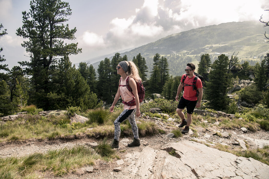
After the ascent with the Glungezer cable car to the Tulfein mountain station, the hike starts via the Schaferhütte and the Glungezerhütte to the Glungezer summit (2677m). After a stop at the Glungezerhütte, you return along the same path. A summit experience for the whole family!
Walking time: approx. 5 h
Distance: 7,7 km
Altitude difference ascent and descent: 1.100 m
4. GLUNGEZER MOUNTAIN PATH
Ascent with the Glungezer cable car to the mountain station Tulfein. From there, you go via the Schaferhütte and Glungezerhütte to the Glungezer summit (2677m). The descent is on the Viggartal side below the Viggarspitze and then on the Stone Pine Path in the direction of Patscherkofel. Take the cable car to Igls and return to Tulfes by bus.
Walking time: approx. 7 h
Distance: 11,7 km
Altitude difference ascent: 909 m / descent: 1.017 m